


Drone Agriculture Mapping: The Future of Farm Monitoring
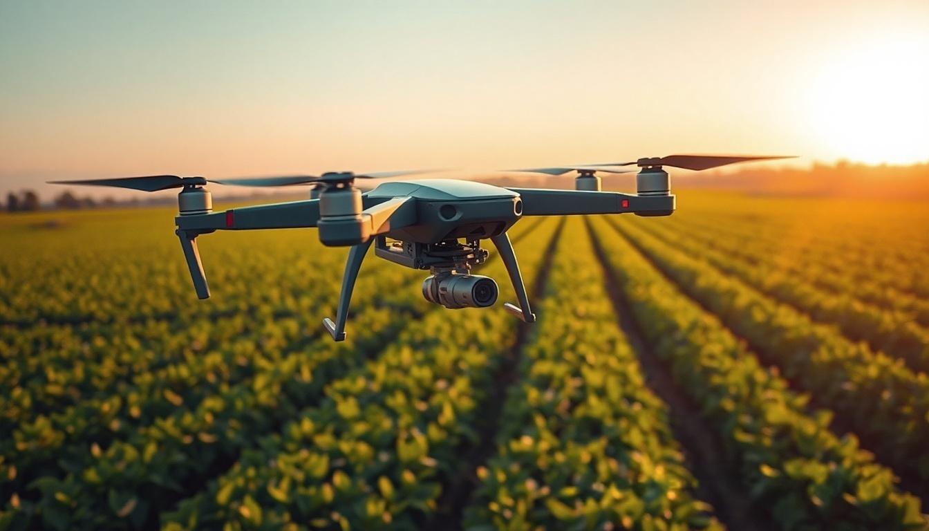
In today’s fast-paced world, innovation and technology intertwine to revolutionize even the most traditional sectors, including agriculture. At the forefront of this transformation is drone agriculture mapping, an invaluable tool that is reshaping how farmers monitor their fields and make informed decisions. Aeroyantra Technologies Private Limited stands at the cutting edge of this advancement, offering state-of-the-art drone surveying services that promise to enhance productivity and sustainability in farming.
What is Drone Agriculture Mapping?
Drone agriculture mapping involves the use of unmanned aerial vehicles (UAVs) to capture high-resolution images of agricultural fields. These drones are equipped with advanced sensors and cameras that collect various types of data, including thermal, multispectral, and RGB imagery. By processing this data, farmers gain insights that help them monitor crop health, assess soil conditions, plan irrigation, and manage overall farm operations effectively.
The Benefits of Drone Agriculture Mapping
-
Enhanced Crop Monitoring: With drone agriculture mapping, it is easier to identify issues such as crop diseases, pest infestation, and nutrient deficiencies before they escalate. Timely identification allows for quicker intervention, ultimately resulting in healthier crops and better yields.
-
Precision Agriculture: The data gathered through drone mapping supports precision agriculture practices, enabling farmers to apply nutrients, fertilizers, and water more efficiently. This targeted approach reduces waste while maximizing crop growth and sustainability.
-
Cost-Effective Solutions: Traditional farming practices often involve labor-intensive methods of surveying and monitoring crops. Drone technology provides a quick, affordable solution that minimizes the need for extensive manpower and reduces operational costs over time.
-
Time Efficiency: Drones can cover large areas rapidly, allowing farmers to collect data in a fraction of the time it would take using conventional methods. This increased efficiency means farmers can spend more time making decisions based on the data rather than gathering it.
-
Comprehensive Data Analysis: The rich, detailed aerial imagery and data obtained from drones can be analyzed using sophisticated software. Farmers can generate valuable insights into crop performance, soil health, and overall farm productivity.
How Aeroyantra Technologies Revolutionizes Farming
Aeroyantra Technologies Private Limited offers a host of drone agriculture mapping services that cater to different agricultural needs, whether it’s for small plots or large-scale farming operations. With their advanced UAVs and expert flight operators, Aeroyantra ensures that farmers receive the highest quality data in the most efficient manner.
Tailored Solutions for All Farming Types
At Aeroyantra, we understand that every farm is unique. That’s why our services are customizable to fit the requirements of different crop types and farming practices. From vineyards to vast wheat fields, we provide specialized drone surveys and mapping solutions that suit the specific needs of each client.
Integrating Cutting-Edge Technology
The drones utilized by Aeroyantra are equipped with the latest technology, including multispectral sensors that capture various wavelengths of light. This technology allows us to produce detailed NDVI (Normalized Difference Vegetation Index) maps, which reveal how well plants are photosynthesizing. This data is crucial for assessing the health and performance of crops.
The Future of Farm Monitoring
As agriculture faces challenges brought about by climate change, population growth, and increasing demands for food production, drone agriculture mapping emerges as a crucial ally. The integration of this technology in farm monitoring leads to more sustainable practices by minimizing resource usage and ultimately enhancing productivity.
Aeroyantra Technologies Private Limited is committed to empowering farmers with drone technology that not only meets today’s needs but also paves the way for a more sustainable future. By adopting drone agriculture mapping, farmers can transition toward smarter, data-driven decision-making practices that will define the future of the agricultural landscape.
FAQs about Drone Agriculture Mapping
Q1: How does drone agriculture mapping work?
A1: Drones equipped with sensors and cameras capture aerial images of fields. The data collected is then processed to generate maps and insights regarding crop health, soil conditions, and other important agricultural factors.
Q2: What types of sensors are used in drone agriculture mapping?
A2: Popular sensors include RGB cameras for visual imagery, multispectral sensors for analyzing plant health, and thermal sensors for temperature analysis. Each type serves a unique purpose in providing comprehensive data.
Q3: How much area can a drone cover in a single flight?
A3: Drones can cover anywhere from 50 to several hundred acres in a single flight, depending on the drone’s capabilities and altitude. This efficiency significantly reduces survey time compared to traditional methods.
Q4: What crops can benefit from drone agriculture mapping?
A4: Almost any crop can benefit from drone agriculture mapping, including grains, fruits, vegetables, and ornamental plants. Each crop type can be monitored for specific growth patterns and health indicators.
Q5: Is drone agriculture mapping cost-effective?
A5: Yes, while there is an initial investment, the long-term savings in labor costs, increased yield, and reduced resource waste make drone agriculture mapping a highly cost-effective solution for farmers.
Conclusion
Drone agriculture mapping is an essential part of modern farm monitoring, providing farmers with the tools they need to make more informed decisions. Aeroyantra Technologies Private Limited is dedicated to providing innovative solutions that enhance agricultural practices and sustainability. By choosing Aeroyantra, you’re not just investing in technology; you’re investing in the future of agriculture. Let us help you unlock the potential of your land with drone agriculture mapping today!

 English
 French
 Spanish
 Portuguese
 Deutsch
 Turkish
 Dutch
Dutch
 Italiano
 Russian
 Romaian
 Portuguese (Brazil)
 Greek
Greek