


Why Drone Mapping is Revolutionizing Surveying in India
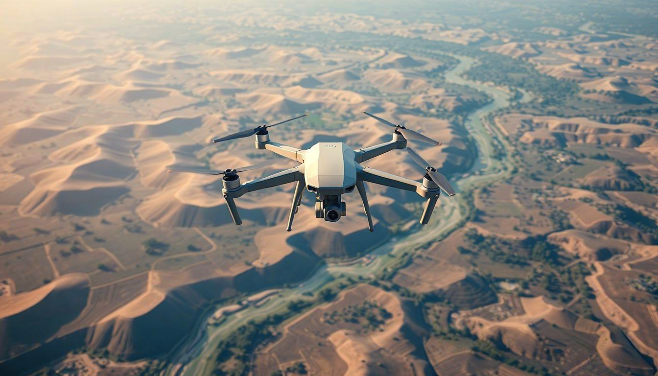
In recent years, the surveying and mapping landscape in India has undergone a significant transformation, largely thanks to technological advancements. At the forefront of this change is drone mapping. As we move into an era defined by precision and efficiency, drone mapping is positioning itself as an indispensable tool for surveyors across various industries. Aeroyantra Technologies Private Limited is leading the charge in harnessing this technology to provide unparalleled mapping solutions.
Understanding Drone Mapping
Drone mapping refers to the process of capturing aerial images using unmanned aerial vehicles (UAVs) equipped with high-resolution cameras and advanced sensors. These drones can swiftly cover large areas, capturing detailed imagery from multiple angles. The data collected is then processed and turned into highly accurate maps and 3D models. This method stands in stark contrast to traditional surveying, which often involves labor-intensive processes that can be time-consuming and prone to human error.
Advantages of Drone Mapping in Surveying
1. Speed and Efficiency
One of the significant advantages of drone mapping is speed. Utilizing drones allows surveyors to cover vast terrains in a fraction of the time it would take using traditional methods. For instance, where a team of surveyors might take days or weeks to survey a particular site, a drone can complete the task in hours, providing real-time data and reducing project timelines.
2. Cost-effectiveness
The operational costs associated with traditional surveying can escalate quickly. Drone mapping minimizes these expenses by reducing the manpower required for land surveys and minimizing the time spent on-site. Additionally, because drones can operate in difficult-to-reach areas, they reduce the need for costly equipment and travel expenses.
3. Accuracy and Precision
Drone mapping technology has improved significantly in terms of accuracy. The data collected can achieve centimeter-level precision, making it ideal for projects that require meticulous detail. The integration of GPS technology and advanced sensors ensures that the maps generated are not only visually impressive but also reliable for implementing large-scale projects.
4. Versatile Applications
Drone mapping’s versatility is another reason it is revolutionizing surveying in India. From agricultural assessments to urban planning, infrastructure development, and environmental monitoring, the potential applications are vast. Industries such as mining, construction, and real estate are increasingly employing drone mapping to make informed decisions based on real-time, accurate data.
5. Safer Working Environment
Surveying challenging terrains often poses risks to personnel. Drones can safely navigate such environments, carrying out the survey without putting human lives in danger. This safety advantage is especially crucial when surveying hazardous areas or when working on construction sites.
How Aeroyantra Technologies is Pioneering Drone Mapping
Aeroyantra Technologies Private Limited is at the forefront of the drone mapping revolution in India. With state-of-the-art drone technology and a team of skilled professionals, Aeroyantra is committed to delivering top-notch services across various sectors. Their expertise lies in providing custom drone mapping solutions tailored to meet client needs, ensuring that clients receive comprehensive analytics and detailed reports that facilitate data-driven decision-making.
Examples of Successful Projects
Aeroyantra has successfully executed numerous projects leveraging drone mapping technology. For instance, in infrastructure development, they have provided accurate land surveys that have drastically improved planning and execution times. In agriculture, detailed aerial imagery has enabled farmers to monitor crop health effectively, allowing for timely interventions that maximize yield.
The Future of Drone Mapping in India
As India continues to invest in technology and innovation, the future of drone mapping looks promising. Increasing government initiatives aimed at promoting the use of UAV technology, along with the entry of startups like Aeroyantra Technologies, will further propel this sector.
With enhanced data analytics and machine learning integration, drone mapping can evolve even further, potentially paving the way for smart cities and optimized resource management. As regulations around drone usage become clearer and more supportive, industries are likely to adopt drone mapping as a standard practice rather than an exception.
Conclusion
Drone mapping is not just a trend; it’s a revolutionary shift that is reshaping how surveying is perceived and conducted in India. With companies such as Aeroyantra Technologies Private Limited leading the way, the future will undoubtedly see an increasing reliance on drone mapping for accuracy, efficiency, and safety across various industries. As we stand on the cusp of this transformation, embracing drone mapping will be crucial for businesses looking to stay competitive in an evolving landscape.
FAQs
1. What is drone mapping?
Drone mapping is the process of using drones equipped with cameras and sensors to capture aerial imagery to create accurate maps and models of the terrain.
2. How does drone mapping differ from traditional surveying?
Drone mapping is faster, more cost-effective, and provides higher precision than traditional surveying methods, eliminating human error and reducing time spent on-site.
3. What industries can benefit from drone mapping?
Several industries, including agriculture, construction, real estate, mining, and environmental monitoring, can greatly benefit from the efficiency and accuracy of drone mapping.
4. How accurate is drone mapping?
Drone mapping can achieve centimeter-level precision, making it suitable for projects that require detailed and accurate information.
5. What services does Aeroyantra Technologies offer?
Aeroyantra Technologies provides custom drone mapping solutions, offering comprehensive analytics and detailed reports tailored to the specific needs of clients across various sectors.
For any business looking to stay ahead of the innovation curve, embracing drone mapping technology is essential, and Aeroyantra Technologies is here to guide you on that journey.

 English
 French
 Spanish
 Portuguese
 Deutsch
 Turkish
 Dutch
Dutch
 Italiano
 Russian
 Romaian
 Portuguese (Brazil)
 Greek
Greek